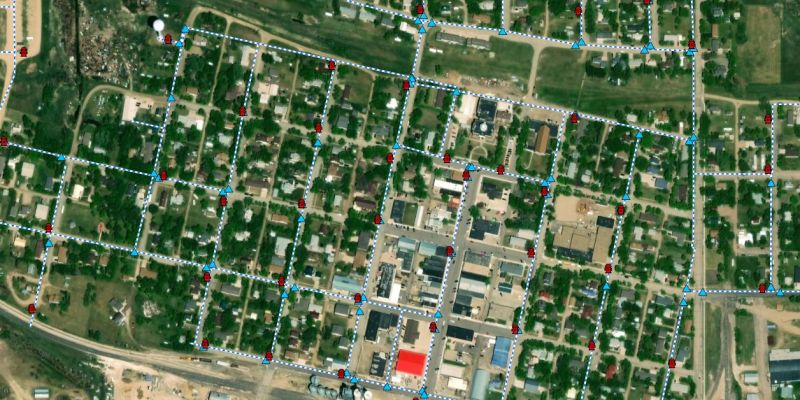
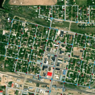
Geographic Information Services
Where Data Meets Development
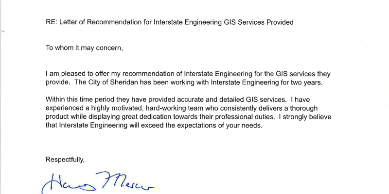
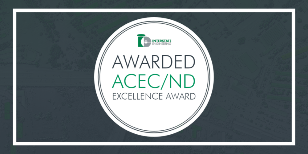
Interstate Engineering is your trusted partner for innovative GIS solutions, dedicated to serving municipal and county clients across the Great Plains. With a robust foundation in civil engineering, we offer specialized geospatial services that elevate your infrastructure projects and community planning initiatives. Backed by years of industry experience, we tailor our GIS solutions to empower clients to visualize, analyze, and interpret location-based data effectively.
Why Us
Local Expertise
Our team comprises GIS professionals with extensive experience throughout the Great Plains. We understand clients’ unique challenges and offer solutions tailored to your specific needs.
Customized Solutions
We recognize that every project is unique. Our services are designed to be flexible and scalable, ensuring you receive personalized solutions that deliver maximum impact and value.
Cutting-Edge Technology
We use the latest GIS technology to provide innovative, effective, and sustainable solutions. Our commitment to stay at the forefront of advancements means you benefit from the latest tools and techniques.
Client-Centric Approach
Your success is our priority. We work closely with you to understand your goals and challenges, providing dedicated support and expertise to help you achieve your objectives efficiently and effectively.
Featured Services
GIS Specialists


Jason Boucher, GISP
GIS Administrator | GIS Group Lead
Skills
Dave Kirkpatrick, GISP
GIS Specialist