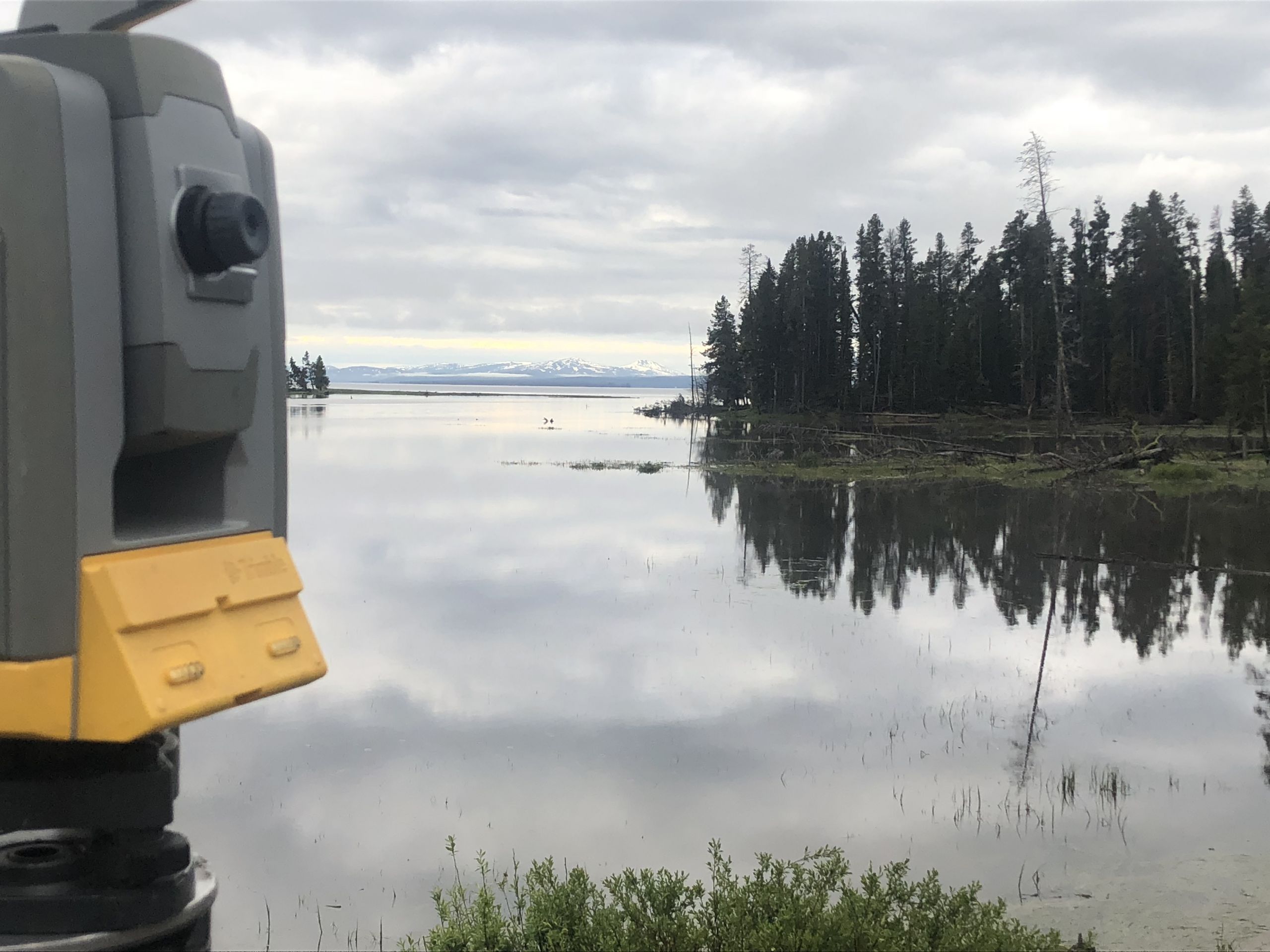
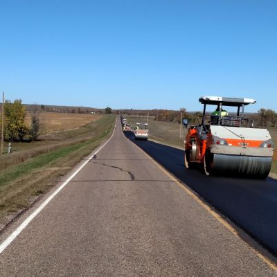
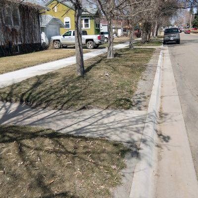
Land surveying is about land, knowing where the boundary lines are and which way the water flows. Technically speaking, land surveying is the professional application of land measurement skills and technologies to determine topography and geometric relationship between significant land features. But in practice, it is much more than that. Surveying involves legal research, deed analysis, boundary recognition, and data analysis. With expert eyes on many different angles, surveyors provide valuable land information to clients.
- ALTA/NSPS Land Title Surveys
- Boundary Surveys
- Land Descriptions
- Elevation Certifications
- Land Planning
- Subdivision Platting
- Regulatory Hearings
- Project Research
- Control Surveys
- Cadastral Surveys
- Corridor (Design) Surveys
- Route Surveys
- Construction Staking
- Easement Surveys
- Record Surveys
- Preliminary Design Surveys
- Control Surveys
- Construction Layout
- Quantity Surveys and Calculations
- Record Surveys
- Record Research
- Topographical Surveys
- Boundary Surveys
- Construction Staking
- Records Surveys
- Right-of-Way
- Landowner Relations
- Permitting & Compliance
- GIS & Mapping
- Land Survey & CAD
- Well Sites
Our Survey Team
Our survey team is licensed in multiple states throughout the United States. With experience in varied services, technology, and topography, the Interstate Engineering survey crew is built of professionals able to work on projects of any size and complexity.
Survey Contact Form
If you are looking for a survey, we are happy to help. Please fill out the form below and an experienced surveyor will reach out for additional information.
Fields marked with an * are required.


